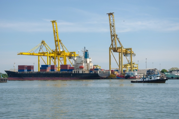
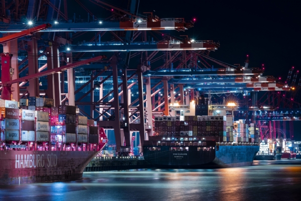
Ship 3D Mapping Service at Blue Octopus Marine Service & Supply
Our company is a leading technology provider that offers high-precision 3D mapping services for ships and marine platforms. With the Faro Focus 3D x 130, you can achieve more efficient and secure operations by creating digital maps of your vessels and platforms.
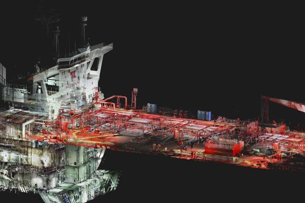
3D Mapping is an advanced technology used to create highly accurate and detailed digital models of ships and marine platforms. The Faro Focus 3D x 130 uses LIDAR (Light Detection and Ranging) technology to scan its surroundings and generate point clouds. These points are then combined to create three-dimensional models. This allows for the more efficient and accurate management of the safety, maintenance, and repair processes of ships, platforms, and structures.
Point Cloud Generation:
We scan the surroundings of ships and marine platforms to create high-quality point clouds.
3D Modeling and Mapping:
Using the obtained point clouds, we create detailed 3D models and maps.
Time and Cost Savings:
We collect data more quickly and effectively compared to traditional measurement methods, thus providing time and cost savings.
Data Analysis and Reporting:
We analyze the 3D data obtained and provide detailed reports.


 share
share twitt
twitt share
share share
share